

Dangerous storm expected to bring storm surge, flooding, power outages to locals
Hurricane Milton has outdone Historic Helene.
The storm reached Category Five status Monday, and forecasts show the storm passing over the entire peninsula of Florida as a hurricane.
“What all the forecast are in agreeance (on) are is as it goes across the state, it is going to maintain a hurricane from the time it comes on the west coast to the time it comes on the east coast,” Emergency Management (EM) Director Tim Cooper said Monday at the emergency Nassau County Board of County Commissioners meeting, at which the board declared a local State of Emergency.
A Storm Surge Warning was issued for Nassau County as well as a Tropical Storm Warning and a Hurricane Watch. Leaders are telling residents in low-lying areas to consider getting out as soon as possible, because of the expectation of clogged roads and highways among one of the largest evacuations Florida has seen.
Commissioner Klynt Farmer said Monday, “We choose to live in this swamp … and at the end of the day, we live here with the frogs and the alligators. We don’t control the tide, we don’t control rainfall amounts. Be aware. If you think you live in one of these low-lying areas, don’t stay there. Listen to what the experts say and, if you think you live in one of these low-lying areas, err on the side of caution, please.”
“A storm surge warning means there is danger of life-threatening inundations, from rising water moving inland from the coastline. The potential for 3-5 feet above ground for surge-prone areas,” EM said Tuesday. “If you reside in a surge-prone area, we encourage you to consider moving to a safer location.”
As of Tuesday morning in the county, a shelter had not been announced and there were no evacuation orders or curfews. Both county and city leaders have said a shelter was in the plans.
“It is well within our plans to open a shelter in Nassau County, at least one shelter, and again we will do that based off the forecast,” Cooper said. He said transportation can almost always be provided to those seeking to take advantage of the shelter.
EM listed the following impacts of Hurricane Milton on Northeast Florida and Southeast Georgia: Damaging winds, storm surge, flooding rainfall and river flooding, hazardous marine conditions and high rip current risk.
Milton has become one of the top five most intense Atlantic hurricanes on record. Emergency Management said NOAA hurricane hunters measured a minimum central pressure of 897 mb and 180 mph winds in Milton as of Monday evening.
“Low barometric pressure means stronger hurricane. Milton is forecast to slightly weaken before making landfall on the Gulf Coast but will remain a major hurricane,” EM said.
Nassau County schools will be closed Wednesday and Thursday. The Emergency Operations Center and sandbag operations were in full-force Monday afternoon, and all day Tuesday at several locations in the county and at Central Park in Fernandina Beach.
“Mother Nature has been certainly taking its toll on the Florida area,” Fernandina Beach Mayor Bradley Beach said in a video shared by the city after the city’s Local Emergency declaration following the state and county declarations. “We are now once again in a State of Emergency with preparation for Hurricane Milton coming our way.”
Tuesday morning Fernandina Beach Police Chief Jeff Tambasco said his department has increased staffing on patrol squads; all specialty assignments will be working patrol. “We activated a Department Operations Center that will be staffed 24 hours a day,” Tambasco said. “We assigned personnel to the EOC to fill critical positions out there.”
Ahead of Milton’s landfall, Nassau County residents still have been recovering from effects of Hurricane Helene and record rainfall seen prior to, exasperating concerns of flooding from Milton.
Nassau County is in a flood watch until 6 p.m. Thursday. Flood waters can be as dangerous as any other weather-related effects, and a storm-surge increases the risk for flooding across the county.
“Moving water, when this water is going over roads … folks, do not mess with any water over the roads and trying to cut through those. It’s incredibly dangerous and destructive so stay out of moving water, stay out of standing water,” said Commissioner A.M “Hupp” Huppmann.
Cooper added to Huppmann’s statement, that “a lot of people don’t realize that flood water is the nastiest water you can get into. There’s all the chemicals that were in people’s garage, the pesticides … if pumps or septic tanks are messed with, there’s a lot more than that in there… People go out after the storms and they see the flood water and they want to play in that. It is not healthy, it is not safe.
“Not only that, all the bad things that were on dry land somewhere that got flooded may be swimming or floating or moving in that water, and we do have a lot of snakes in the area. There’s a lot of not-safe things in that water,” Cooper said.
Power outages are expected in the county, and leaders remind citizens to stay away from downed power lines. Downed power lines also increase the dangers of flood waters.
Commissioner Farmer also reminded citizens to be informed about emergency procedures such as running your generator in case of power outages.
Cooper and Chairman John Martin said that if there is an evacuation order given, citizens should remember that if you don’t evacuate, it’s possible that emergency responders won’t be able to get to you if you have an emergency in the evacuation zone.
Locals and those in the area can watch for storm, shelter and emergency warning updates on onenassau.com.
Florida is expecting coastal changes to the west coast following Hurricane Helene and Milton’s landfall.
TRACKING MILTON: Follow the News-Leader's most recent updates on the storm
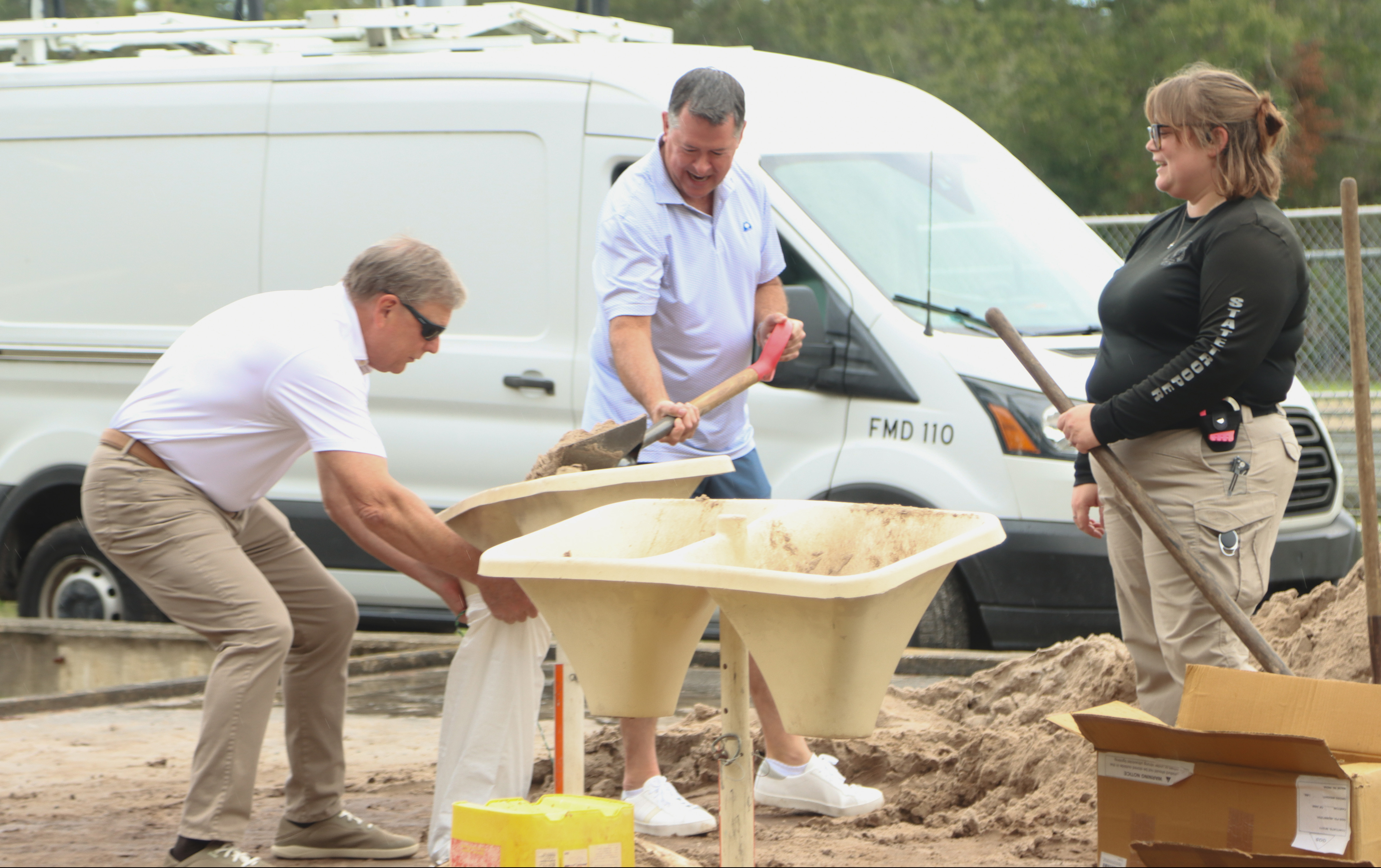
From left: Jeff Householder, Ray Martin and Emily Marell, state trooper, fill bags of sand Monday at the Yulee Ballpark in preparation for Hurricane Milton. Photo by Ashley Chandler/News-Leader
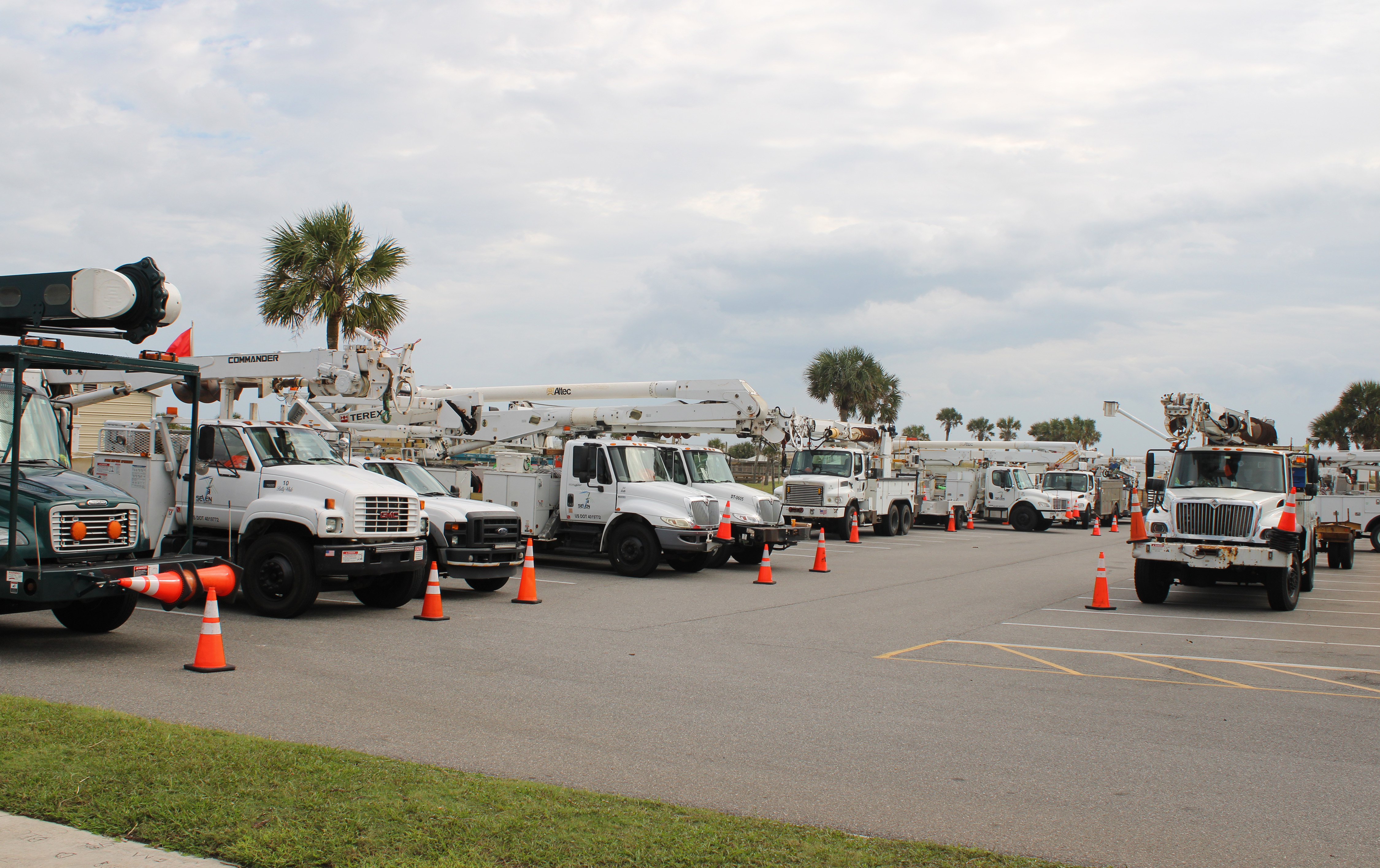
7 Utility Services had 75 pieces of equipment ready to help restore electricity after Hurricane Milton, which is predicted to hit the west coast of Florida early Thursday. Photos by Julia Roberts/News-Leader

Dalton Durmine and Corey Hooker are mechanics for 7 Utility Services. The pair had been on call for 14 days straight following Hurricane Helene. They were at Main Beach on Monday where their company had 75 pieces of equipment ready to help restore electricity after Hurricane Milton, which is predicted to hit the west coast of Florida early Thursday. Durmine and Hooker have been working in Georgia, and said they "have no idea" how long they will be in Florida. "It all depends on the hurricane," Durmine said.
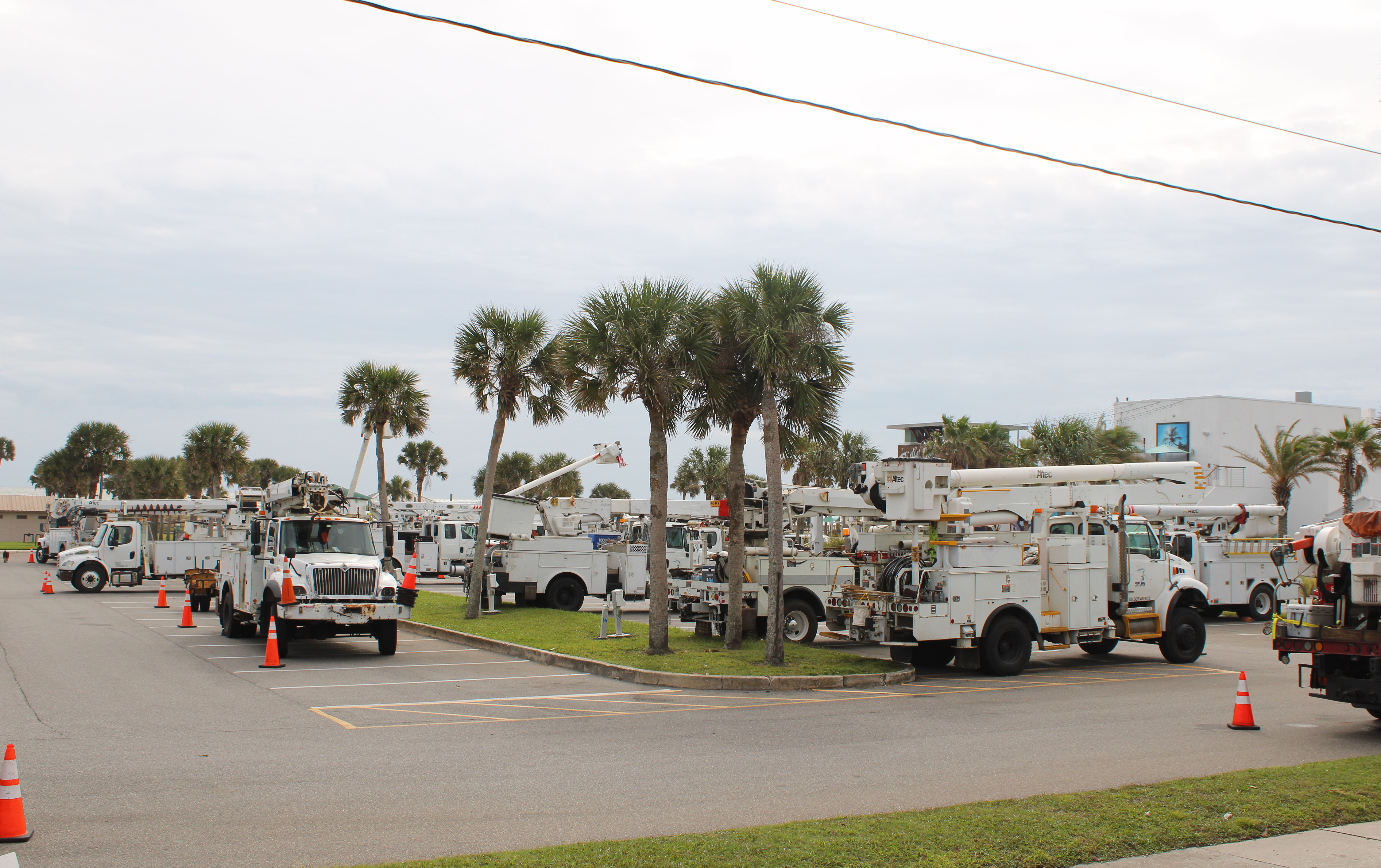
7 Utility Services had 75 pieces of equipment ready to help restore electricity after Hurricane Milton, which is predicted to hit the west coast of Florida early Thursday. Photos by Julia Roberts/News-Leader

Commissioners A.M. "Hupp" Huppmann and Klynt Farmer listen to Emergency Management Director Tim Cooper on Monday at the Board of County Commissioners emergency meeting. Photo by Ashley Chandler/News-Leader
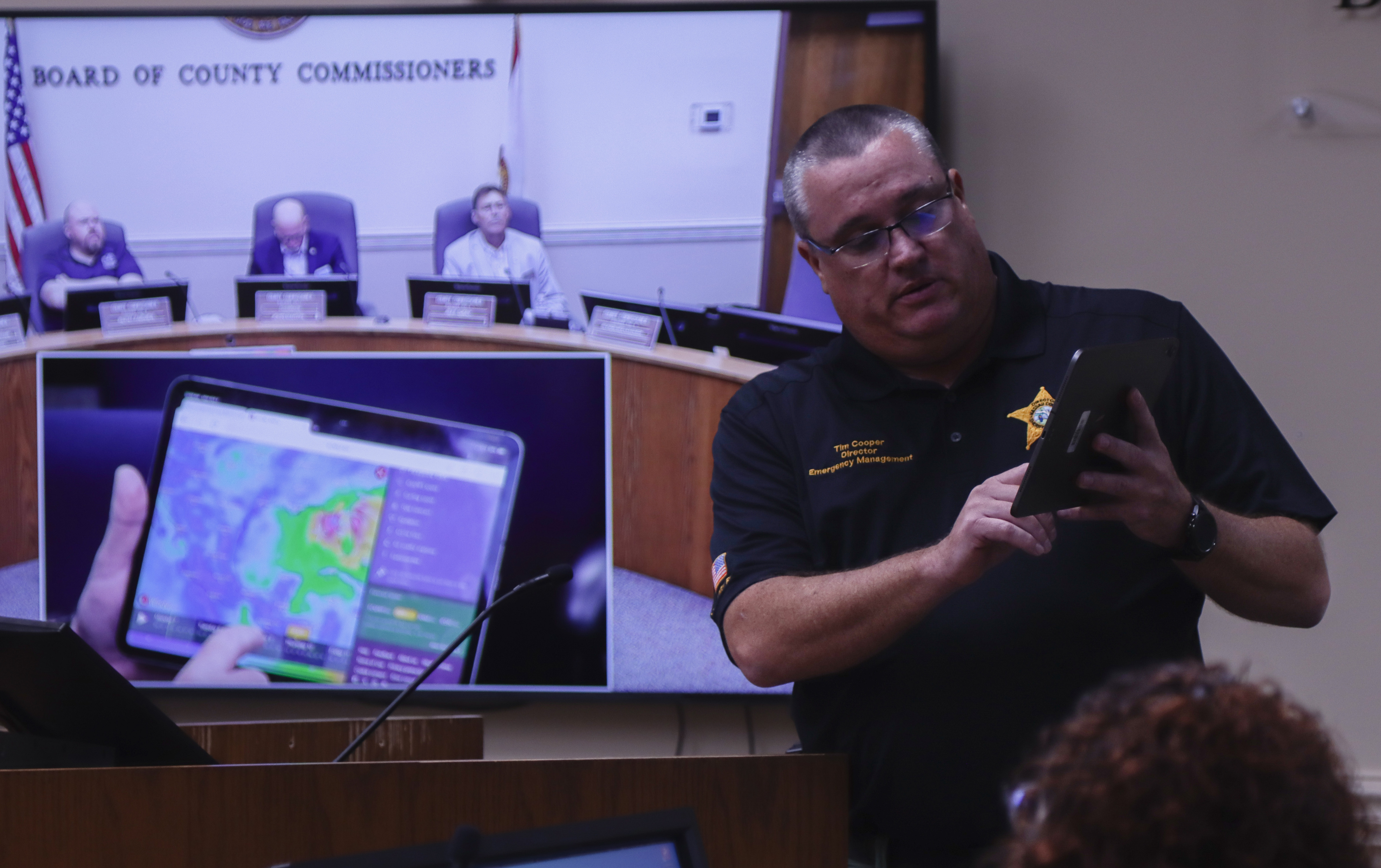
Emergency Management Director Tim Cooper shows potential radar for Hurricane Milton to the Board of County Commissioners on Monday at the emergency meeting Monday. Photo by Ashley Chandler/News-Leader
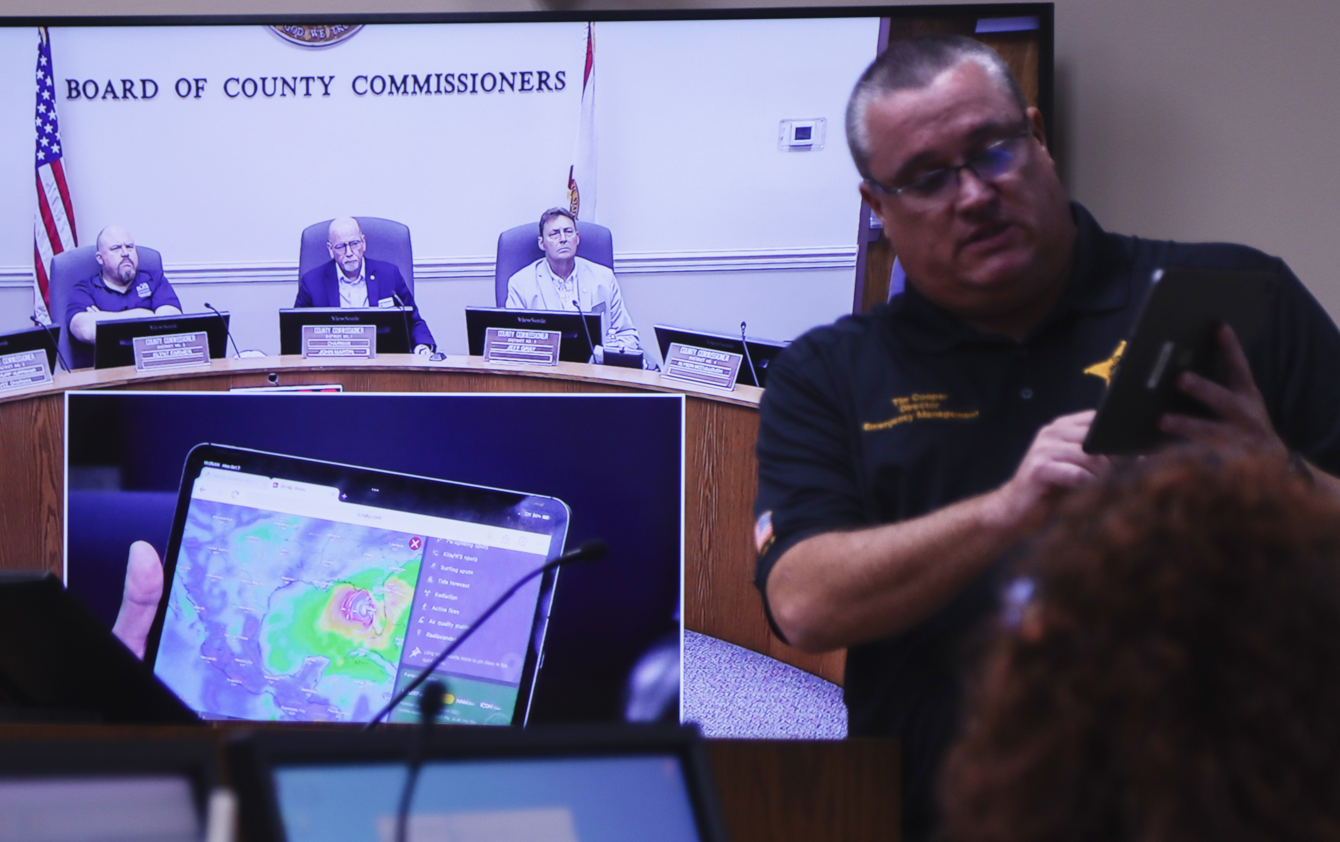
Emergency Management Director Tim Cooper shows potential radar for Hurricane Milton to the Board of County Commissioners on Monday at the emergency meeting Monday. Photo by Ashley Chandler/News-Leader
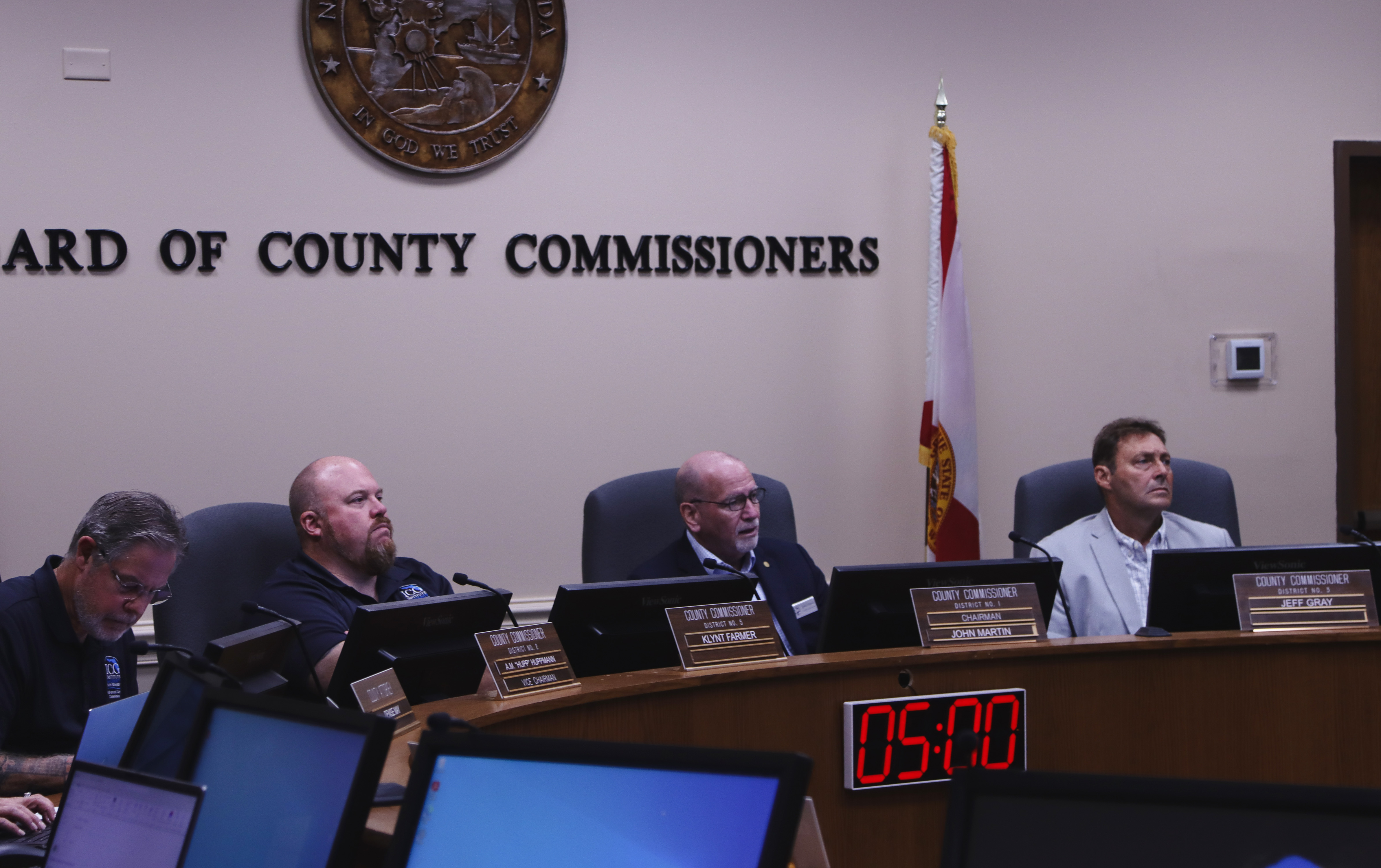
From left, commissioners A.M. "Hupp" Huppmann, Klynt Farmer, John Martin and Jeff Gray listen to Emergency Management Director Tim Cooper on Monday at the Board of County Commissioners emergency meeting Monday. Photo by Ashley Chandler/News-Leader
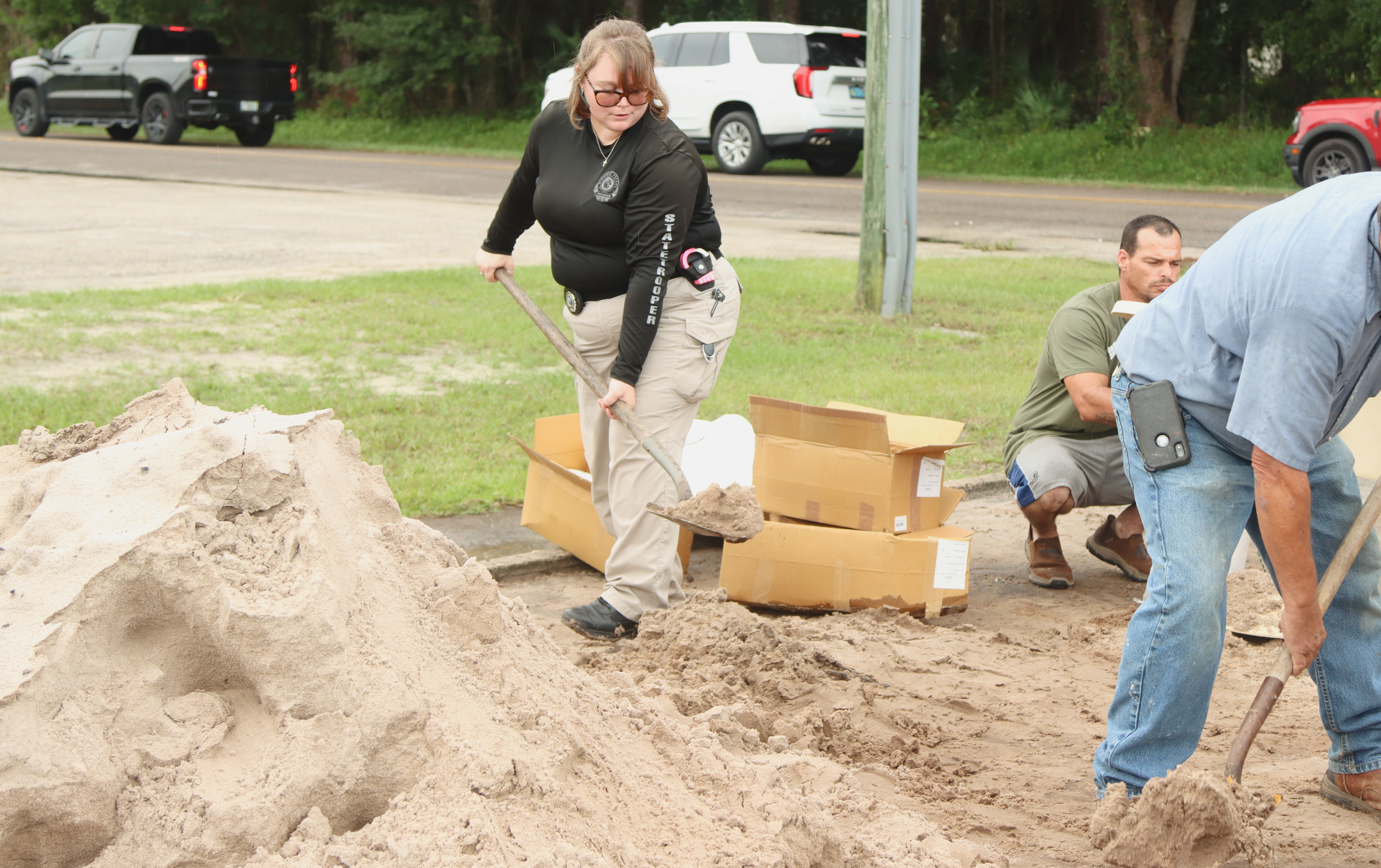
Emily Marell, state trooper, fill bags of sand Monday at the Yulee Ballpark in preparation for Hurricane Milton. Photo by Ashley Chandler/News-Leader
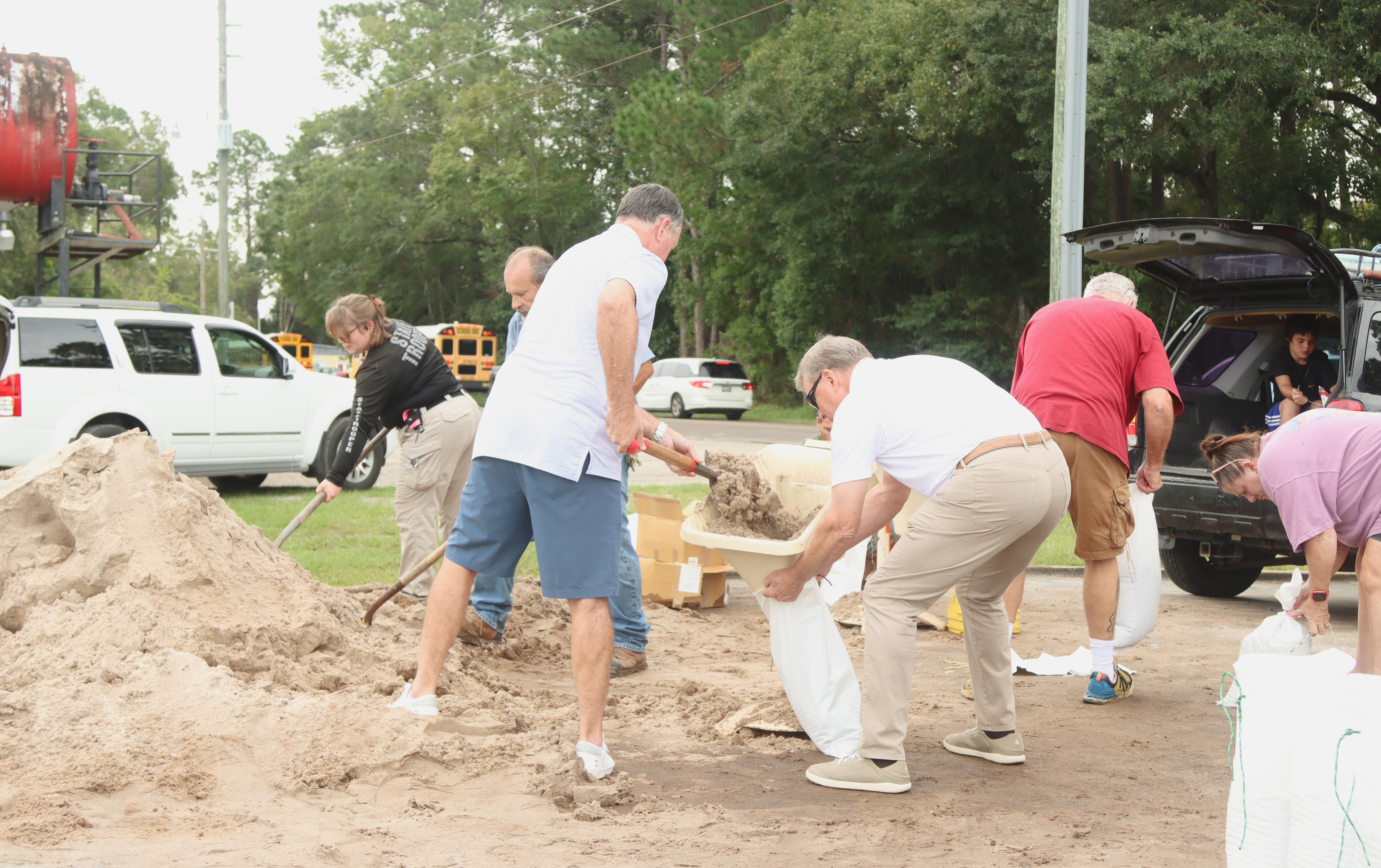
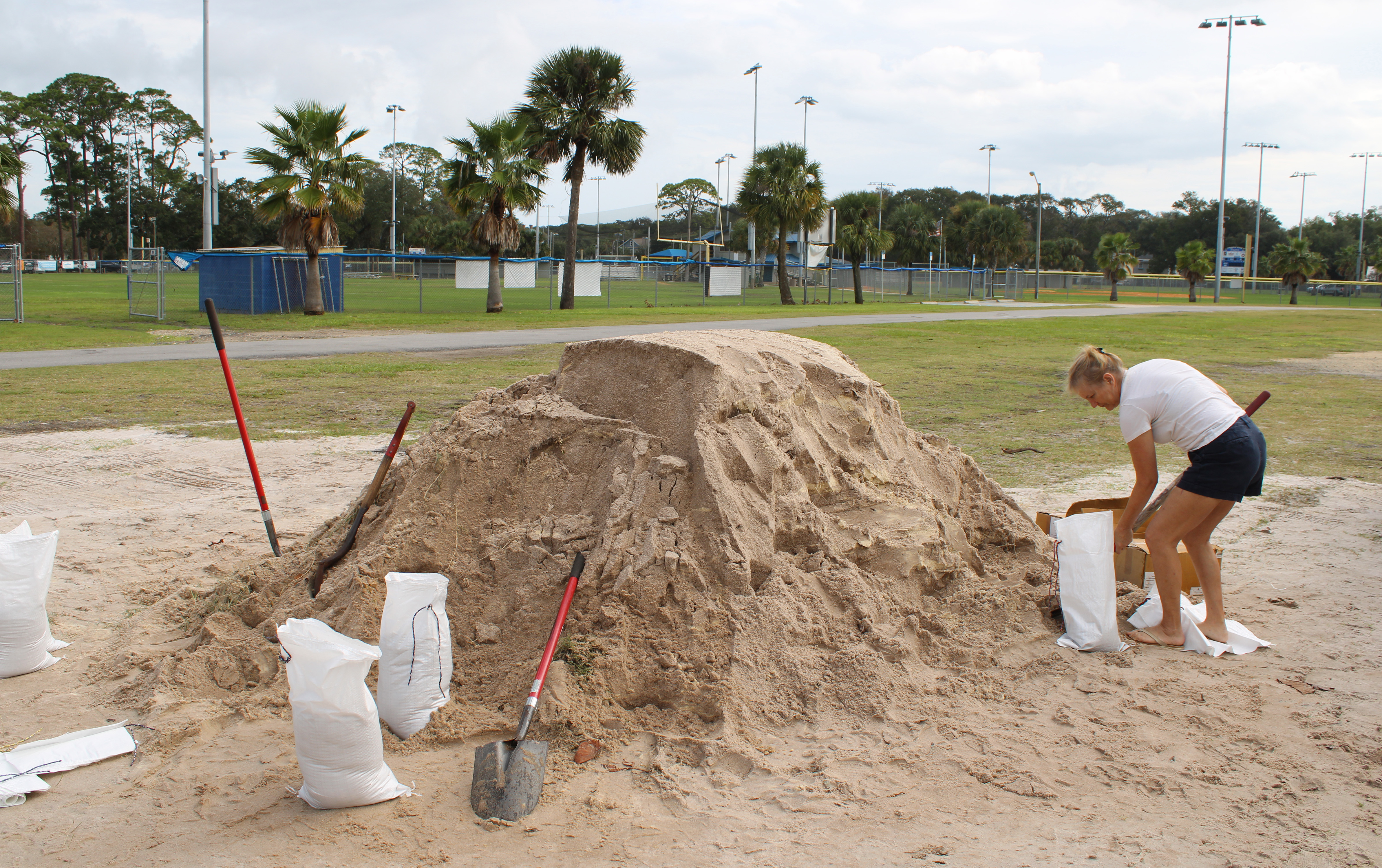
Locals prepare for Hurricane Milton by filling sandbags Monday at Yulee Ballpark. Photo by Ashley Chandler/News-Leader
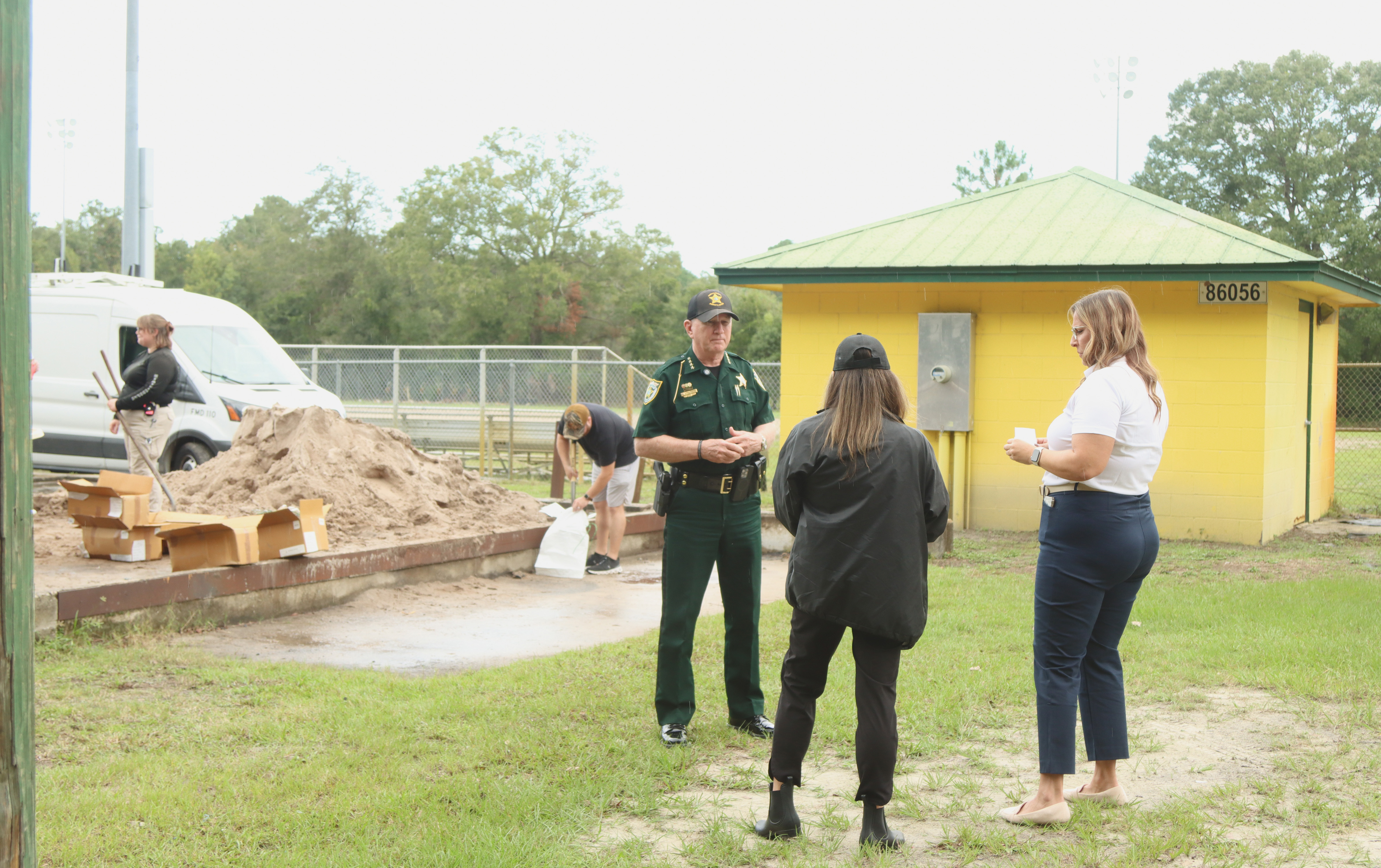
Sheriff Bill Leeper records an update in front of the sandbag operation set up Monday at Yulee Ballpark in preparation for Hurricane Milton. Photo by Ashley Chandler/News-Leader
Melissa Hall filled up sandbags in advance of Hurricane Milton. She said she has lived on Amelia Island since 1993, and her home was flooded during recent heavy rains, and she wants to be prepared for Milton. Photo by Julia Roberts/News-Leader
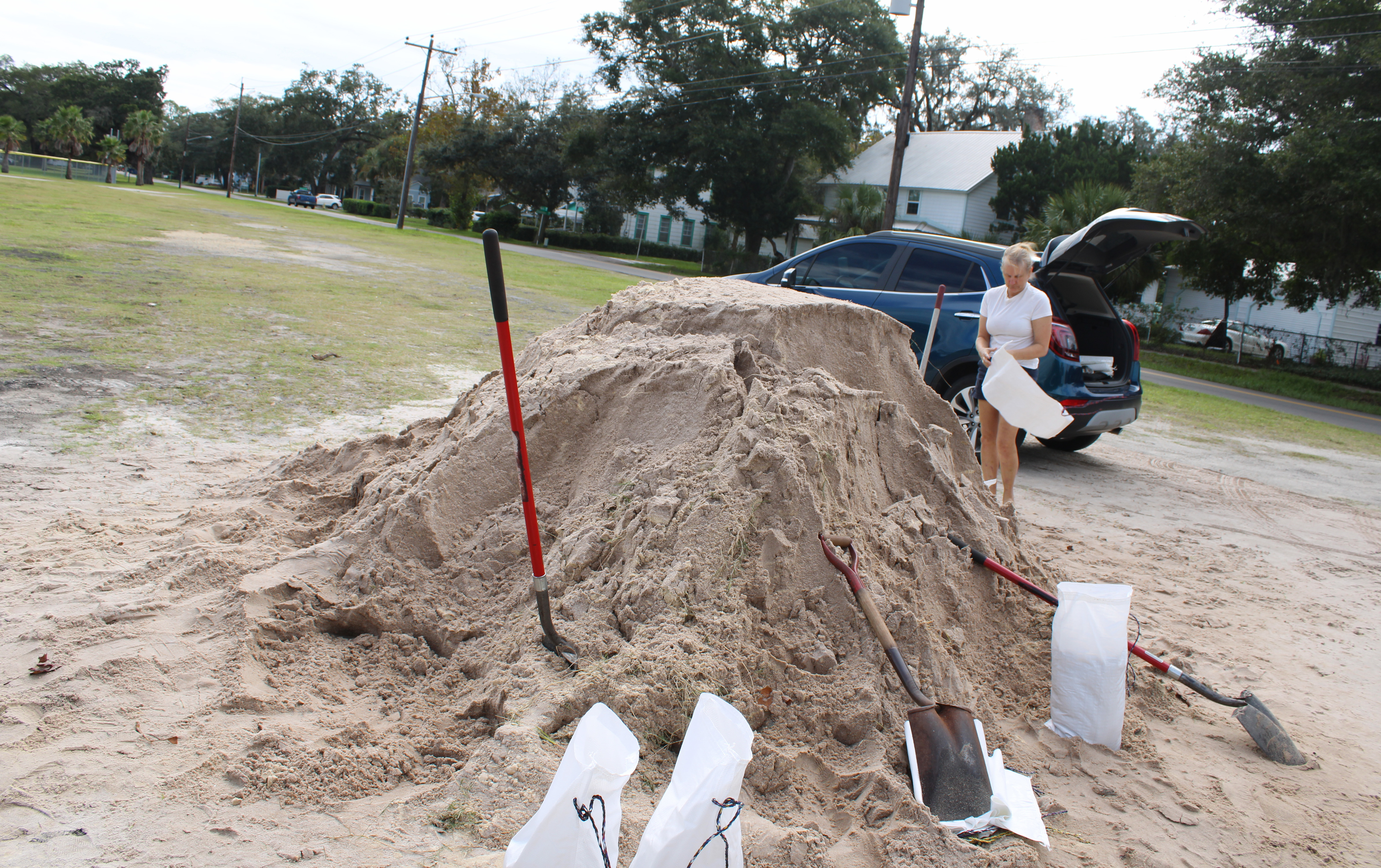
Melissa Hall filled up sandbags in advance of Hurricane Milton. She said she has lived on Amelia Island since 1993, and her home was flooded during recent heavy rains, and she wants to be prepared for Milton. Photo by Julia Roberts/News-Leader